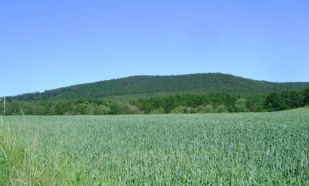
A forested hill 492 m above sea level on the Sudeten Foreland, with two hiking trails and traces of former mining.
Brzeźnica is a hill 492 metres above sea level in Ząbkowice County, on the Sudeten Foreland, about 6 km north-west of Bardo.
The hill lies in the Otmuchów Depression, in the Brzeźnica Massif. The regional classification of the massif is not clearly settled: some geographers assign it to the Niemcza-Strzelin Hills, others to the Otmuchów Depression. The relative height of the hill is 137 metres.
Brzeźnica is built of serpentinites, among which gabbro apophyses occur. The base is covered with Quaternary deposits: clays, gravels, sands and loess.
The summit and slopes are covered with extensive forest, mainly coniferous with an admixture of deciduous trees. Among other species, the white cinquefoil grows here.
Two trails lead across the hill: the green trail, linking Przełęcz Srebrna through Brzeźnica to Grochowiec, and the yellow trail, running from Bardo to Ząbkowice Śląskie. The summit is part of the Crown of the Polish Sudetes.
In older sources the hill appeared under the names Kozie Chrzepty, as well as the German Ciginrucke and Harthenberg. In the 18th century earthworks were built here, forming part of the fortress in Srebrna Góra, later modernised by Prussian and Austrian forces until 1813. Through the 19th and 20th centuries, mining took place here: chrysoprase, lignite, chromium and nickel ores, and above all magnesite, including at the "Anna" mine.
Nearby lie Srebrna Góra Fortress, to which one of the trails leads, as well as Bardo Castle and the Cisowa Góra nature reserve.

Be the first! Add a comment.
You need to log in to add a comment.
Log in