A narrow, wooded ridge 703 m above sea level at the western edge of the Śnieżnik Massif, above Międzygórze.
Góra Modrzewiowa is a rise 703 metres above sea level at the western edge of the Śnieżnik Massif in the Sudetes, right on the border of the Śnieżnik Landscape Park, above Międzygórze in Kłodzko County. The former German name of the summit was Katzer-lehne.
Modrzewiowa takes the form of a narrow ridge that separates the Muszany Dół valley from the gorge of the Upper Nysa. The western slope, descending into the gorge via Kocurowe Zbocze, is very steep and precipitous, unlike the gentler eastern side.
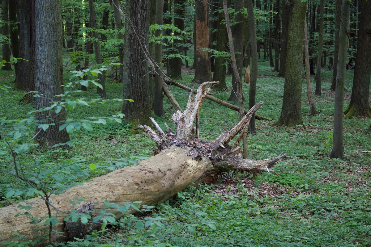
The summit is built of gneiss rocks of the Lądek-Śnieżnik metamorphic complex, the same rocks that make up most of the range. It is covered by lower montane spruce-beech forest.
From Międzygórze, at the foot of the mountain, it is close to the Wilczka Waterfall.
The same village is also home to the Fairy Tale Garden in Międzygórze.

Be the first! Add a comment.
You need to log in to add a comment.
Log in