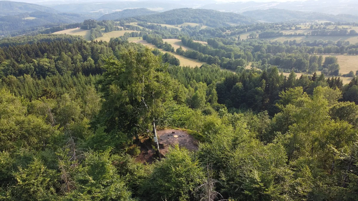
An elevation 697 metres above sea level in the Central Sudetes, the highest Polish peak of the Jastrzębie Mountains, with the Polish-Czech border running across the summit.
Jański Wierch is an elevation 697 metres above sea level in the Central Sudetes, lying about 2.5 km southwest of Okrzeszyn.
The Polish-Czech border runs across the peak, turning northwest just above the summit. Jański Wierch is the highest Polish peak of the Jastrzębie Mountains (Góry Jastrzębie).
Geographers disagree on which range the elevation should be assigned to. Some Polish researchers assign it to the Krucze Mountains, while some Czech researchers assign it to the Jastrzębie Mountains (Jestřebí hory), part of the Broumov Highlands. The valley of the Beczkowski Stream, a tributary of the Szkło, lying north of the peak, is considered the boundary between the two ranges. Morphological factors and a different geological structure distinguish Jański Wierch from the neighbouring Krucze Mountains, which is why it's sometimes mistakenly assigned to the Kamienne Mountains.
The elevation is built of Upper Carboniferous sandstones and conglomerates, forming the western wing of the Intra-Sudetic Basin, with numerous rock formations on the summit and slopes. The north-eastern slopes, facing Poland, are covered by upper-montane spruce forest, while the slopes descending towards the Czech Republic remain unforested.
A green tourist trail runs across the summit along the border, linking Mieroszowskie Ściany with the Okraj Pass. The summit serves as a viewpoint with a panorama of the Karkonosze (Giant Mountains) and the surrounding ranges. Nearby there used to be a border crossing between Okrzeszyn and the Czech village of Petříkovice.
In the Jastrzębie Mountains and the neighbouring elevations lie further peaks of this area, including Bogoria and Mrowiniec, and lower down, in Okrzeszyn itself, stands the Luther's Chapel in Okrzeszyn.

Be the first! Add a comment.
You need to log in to add a comment.
Log in