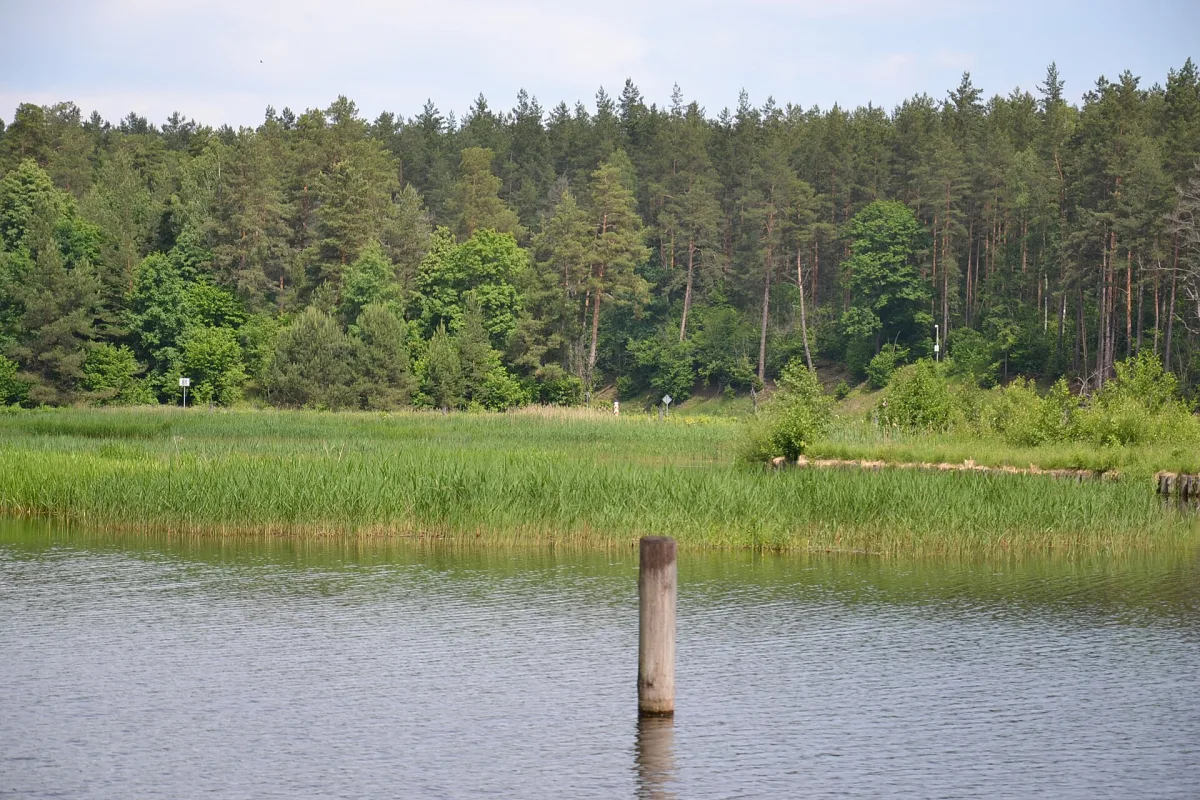
A summit of the Karkonosze Intra-Sudetic Trough (625 m above sea level) south-west of Zachełmie, also known in the sources as Czerwień.
Rudawka is a summit in the Karkonosze Intra-Sudetic Trough, 625 m above sea level, lying south-west of Zachełmie. In the sources it is also described under the name Czerwień, in German Rotehübel.
The summit is built of Karkonosze granite. It lies within the Karkonosze Intra-Sudetic Trough, a depression separating the Karkonosze from the Rudawy Janowickie.
Not far away, on the other side of the valley, flows the stream that forms the Podgórna Waterfall, and a few kilometres further on rises Chojnik Castle.

Be the first! Add a comment.
You need to log in to add a comment.
Log in