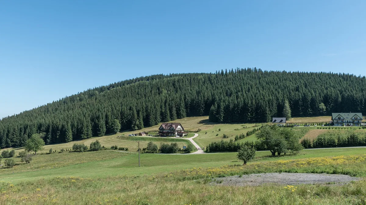
A mountain 956 m above sea level in the Śnieżnik Massif with traces of former galena, iron ore and uranium mining, within the Śnieżnik Landscape Park.
Rudka is a mountain 956 m above sea level in the Śnieżnik Massif in the Sudetes, within the Śnieżnik Landscape Park, near the villages of Sienna, Janowa Góra and Kletno. It used to bear the German name Zechenberg, and after 1945 the name Mokrzyca was also used.
Rudka lies on the northern side ridge of Śnieżnik, between the valleys of the Sienna Woda and the Kleśnica. The mountain is built of Śnieżnik gneisses and mica schists with crystalline limestones and amphibolites, belonging to the Lądek-Śnieżnik metamorphic complex, with significant mineralisation in the contact zones.
At the end of the 16th century, galena, that is lead ore, was mined on the slopes of Rudka. In the 19th and early 20th centuries iron ore was extracted here, and after 1948, on the Kletno side, uranium was mined by the Kopaliny enterprise. Traces of the old mining are still visible today as spoil heaps and adits.
The mountain is covered by lower montane spruce forest, with sparse vegetation right at the summit. The border of the Śnieżnik Landscape Park runs along the edge of the forest.

Be the first! Add a comment.
You need to log in to add a comment.
Log in