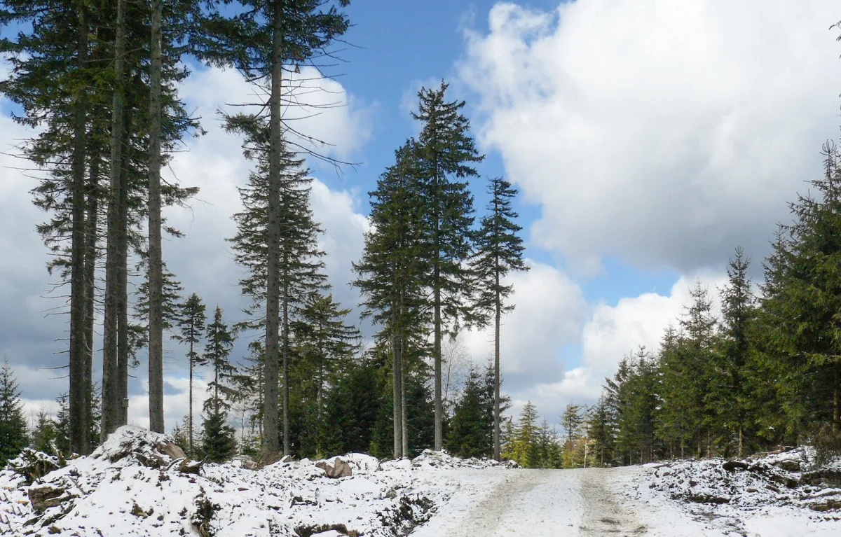
A summit 883 m above sea level in the Bystrzyckie Mountains in the Jagodna Massif, with traces of a ski lift from 1976.
Sasin is an unremarkable summit 883 metres above sea level in the Bystrzyckie Mountains, in the Jagodna Massif, in the Sudetes. It lies on the European watershed and for years carried a ski lift, whose route is still visible on the terrain today.
The summit is built of granite gneisses and lies on the European watershed - the Tartaczny Potok stream flows down from its southern slope. The slopes are covered by lower montane spruce-beech forest, giving way further down to farmland. The Sudetes Motorway runs along the northern slope.
In 1976 the match factory of Bystrzyca Kłodzka built a 750-metre T-bar lift on the slope, with a height difference of 130 metres, capable of carrying 500 people per hour. The lift's route is still visible in the shape of the slope.
A blue hiking trail runs over Sasin, linking the Przełęcz Spalona pass with Jagodna and the Przełęcz nad Porębą pass. The German name of the summit was Kohlberg, and the Polish variant Sasanka is also found - the same name as the nearby summit Sasanka, so the two are easily confused.

Be the first! Add a comment.
You need to log in to add a comment.
Log in