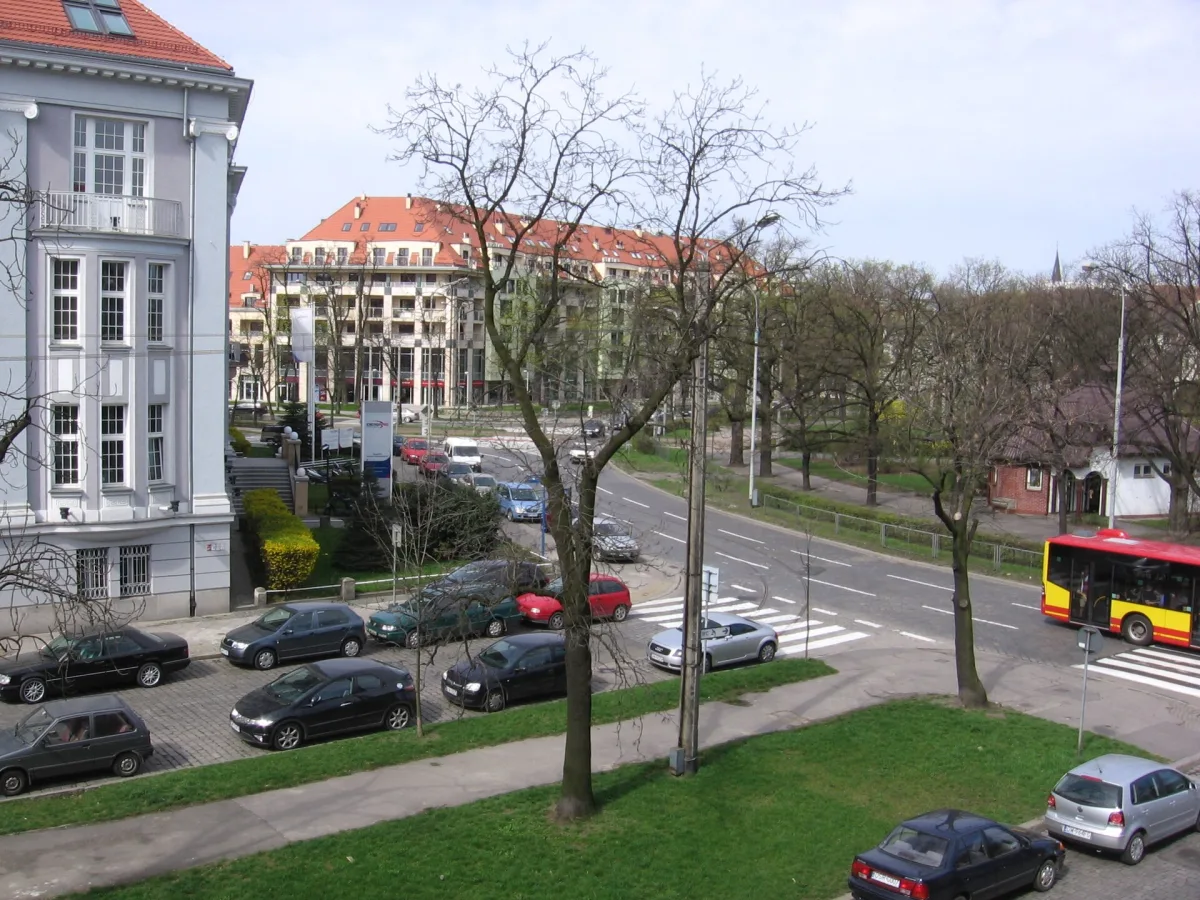
A star-shaped roundabout about 220 metres in diameter in the south of Wrocław, designed in 1880, with a history of four names up to 1945.
Silesian Insurgents' Square is a large roundabout with a green square in the middle, in the south of Wrocław, on the axis of Powstańców Śląskich street leading from the city centre towards the A4 motorway junction in Bielany Wrocławskie and Świdnica. It measures about 220 metres in diameter, and streets from six directions converge in a star pattern around the ring road.
The square was designed by architects and urban planners Ferdinand Alexander Kaumann and August Hoffmann in 1880, though it was only built a dozen or so years later, in 1895. It was part of a larger urban development in what was then the southern suburb of Wrocław, called Kaiser-Wilhelm-Viertel, that is the Kaiser Wilhelm District. Today this area largely overlaps with the Południe housing estate. Originally the centre of the square was meant to be a market square, and only later was its purpose changed to recreational.
The square's first namesake was Emperor Wilhelm I Hohenzollern, from whom the original name Kaiser-Wilhelm-Platz came. Later the square bore the name of the Reich president as Reichs-Präsident-Platz, and from 1934 the name of Field Marshal Paul von Hindenburg as Hindenburg-Platz. The Polish name Plac Powstańców Śląskich (Silesian Insurgents' Square) was given in 1945.
In the park in the middle of the square, after the First World War, a monument to the 51st Prussian infantry regiment was erected. It was demolished in 1945, and on 6 October 1964 a Monument to Fallen Militiamen, by Wrocław sculptor Jerzy Boroń, was unveiled in its place. This in turn was removed on 23 May 1991, so today the centre of the square is occupied by the green square alone, with no monument.
Grand townhouses and public buildings were erected around the square, among them, in 1911, in its southern part, the building of the Royal Mining Office (Oberbergamt), which today houses the management of the company Tauron Dystrybucja Serwis. During the Second World War the Red Army's advance came from the south towards the centre, so the buildings around the square were largely reduced to ruins. The section between today's Sztabowa and Pretficza streets remained undeveloped until 2009. Earlier, in the 1960s, on the neighbouring plot, destroyed in 1945, between Zaporoska and Powstańców Śląskich streets, a low shopping pavilion was built, demolished in 2008. In its place, in 2011, the Thespian apartment building was completed.

Be the first! Add a comment.
You need to log in to add a comment.
Log in