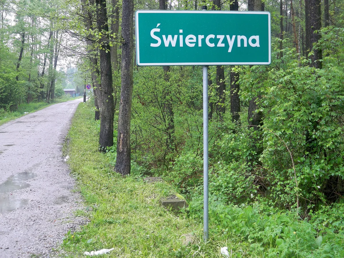
A wooded peak of the Karkonosze Foothills between Szklarska Poręba and Jagniątków, on the route of the blue and black trails.
Świerczyna is a peak in the western part of the Karkonosze Foothills, 665 metres above sea level, located east of Szklarska Poręba, south of Michałowice and west of Jagniątków.
The elevation is built of Karkonosze granite and covered with spruce forest.
A blue trail runs along the northern slope of Świerczyna from Piechowice through Michałowice to the pass below Śmielec. A black trail leads along the southern slope from Jagniątków to the PTTK mountain hostel "Pod Łabskim Szczytem", located below Łabski Szczyt.
South of the peak runs the Droga pod Reglami, linking Szklarska Poręba with Jagniątków and, further on, through Zachełmie with Przesieka. Between the neighbouring Łagodna and Świerczyna lies a crossroads known as Trzy Jawory.
Świerczyna is a dozen or so minutes' drive from the Szklarka Waterfall.



Be the first! Add a comment.
You need to log in to add a comment.
Log in