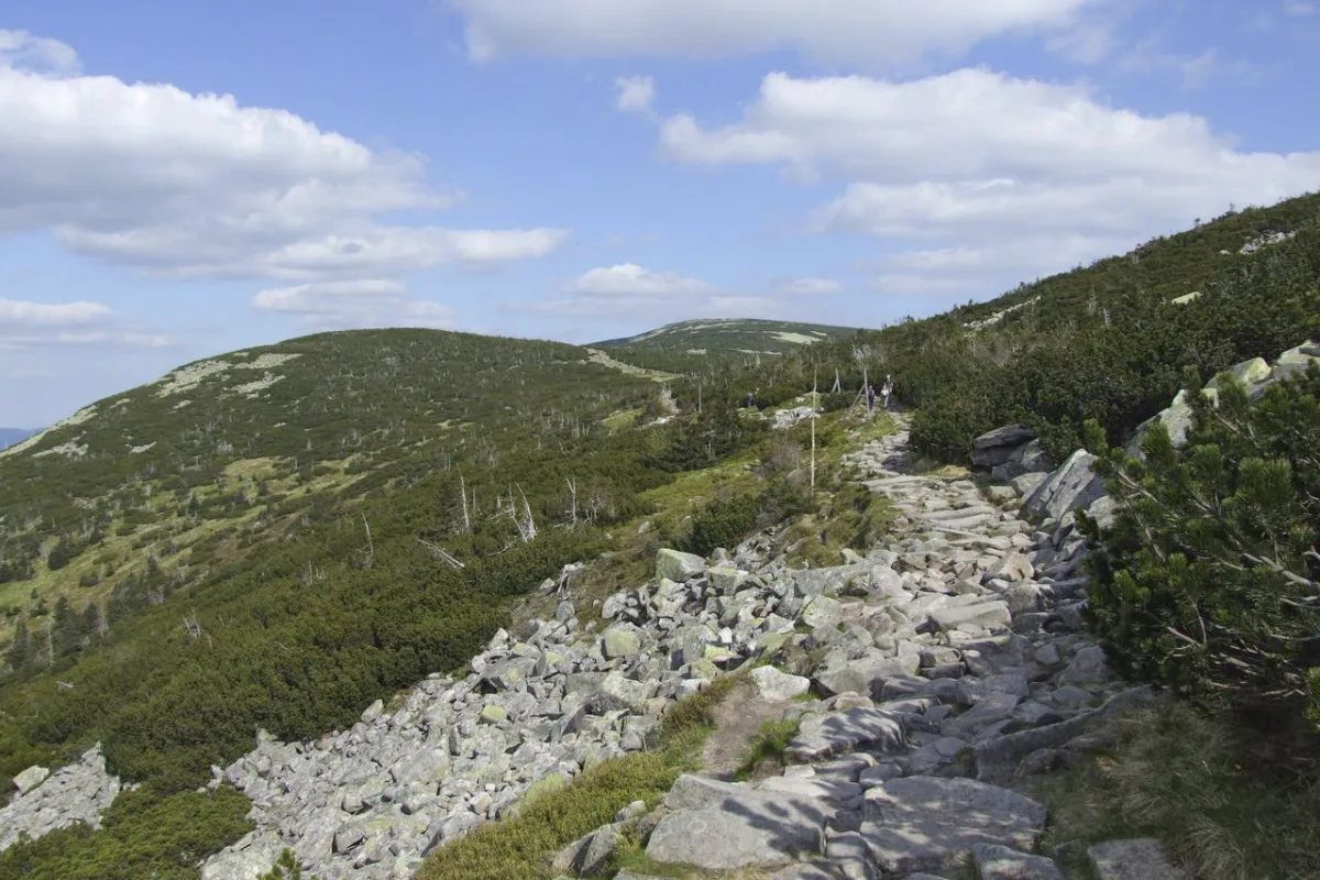
A peak on the main ridge of the Karkonosze Mountains, 1388 m above sea level, on the Polish-Czech border, with a block field and trails to Szklarska Poręba and Karpacz.
Tępy Szczyt is a peak on the main ridge of the Karkonosze Mountains, rising to 1388 metres above sea level over Przesieka.
The peak lies in the eastern part of the Silesian Ridge, between Mały Szyszak and Smogornia. The peak's German names were Kleines Rad, Mittelberg and Sturmhaubenköppel. The state border between Poland and the Czech Republic runs directly south of the summit.
Tępy Szczyt is built of Karkonosze granite, and its summit sections are covered by an extensive block field, that is a rock scree without vegetation. Lower down grows dwarf mountain pine and upper montane spruce forest. The area on both sides of the border belongs to the Karkonosze National Park.
A red trail runs over the summit from Szklarska Poręba to the Okraj Pass, known as the Polish-Czech Friendship Trail. A green trail also runs across the slope of the peak, from Szczyt Karkonoski to Karpacz.
Along the route towards Karpacz, further away, lie among others Śnieżka, Wielki Szyszak and Śląskie Kamienie. In the valley below the mountains, in Przesieka, it is worth visiting the Wang Temple.

Be the first! Add a comment.
You need to log in to add a comment.
Log in