
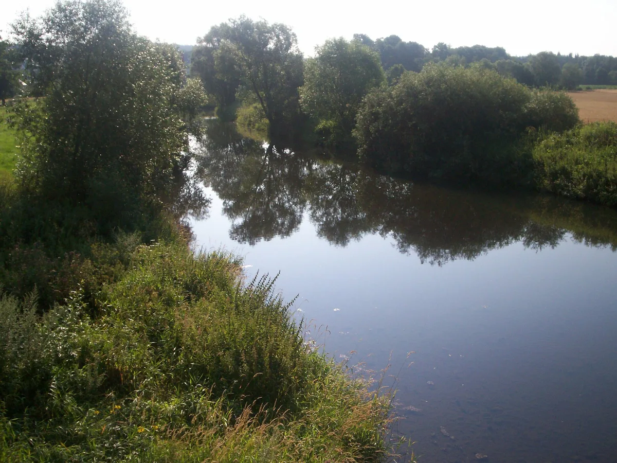
Routes along the rivers
River valleys give cyclists something hard to find elsewhere: level ground, the shade of trees growing along the bank, and a natural route direction that does not have to be worked out from scratch. In Wrocław, the flood embankments running along the Oder also serve as cycling paths - the simplest way to cross the city away from car traffic, passing one island and river branch after another.
Outside the city, the most interesting river route is the corridor of the Bóbr valley in the Western Sudetes, protected as the Bóbr Valley Landscape Park. It is followed by the Euroregional Tourist Cycling Route "Bóbr Valley", supplemented by the Jelenia Góra and Lwówek loops. The park covers seven municipalities and more than 90 kilometres of marked trails, and the route runs through a gorge section of the river, passing the rock formations of the Lwówek Switzerland and viewpoints including Krzywousty Hill in Jelenia Góra and Castle Hill in Wleń. It is a route on which cycling meets a landscape typical of river gorges - a narrower valley, rocks closer by, and more climbs than on the lowland section of the Oder.
Former railway embankments turned into paths
The Sudetes have a dense network of railway lines built around the turn of the 19th and 20th centuries, many of which did not survive economic crises and changes in the profitability of coal transport. One such trace is the route of the former Owl Mountains Railway, built in 1897-1903 and running from Dzierżoniów through Pieszyce, Bielawa and Srebrna Góra to Ścinawka Średnia - 62 kilometres in total. The line was closed in the 1930s, when carrying coal from the mines in Nowa Ruda turned out to be more profitable by other routes, and tourist traffic collapsed after the First World War. On the mountain section the railway overcame steep gradients - up to six percent - using a rack-and-pinion track, and two brick viaducts, nearly 24 and 28 metres high, still stand above the former embankment today.
Today the route of the former line can be walked or cycled, following its course through the villages at the foot of the Owl Mountains - it is one of those parts of the region where the landscape of Lower Silesia's industrial history is more legible from a bicycle saddle than from a car window, because the embankment holds a steady, gentle gradient designed for a train, not for road traffic.
Half-day loops around Wrocław
For someone who wants to get out of the city for a few hours without planning a multi-day expedition, the best point of reference is the Dr Bronisław Turoń Trail Around Wrocław. This is a yellow-marked tourist trail 141 kilometres long, divided into ten sections and split into a northern and a southern part, because there are no footbridges over the Oder near the city. Most sections can be cycled, and the route runs through the Trzebnica, Wrocław and Środa Śląska counties, passing villages just beyond the city limits, the banks of the Oder and the Widawa, and areas with ponds. Because the trail is divided into sections, there is no need to cover the whole thing at once - it is enough to pick one section near a particular district and turn it into a half-day loop, returning by a different route.
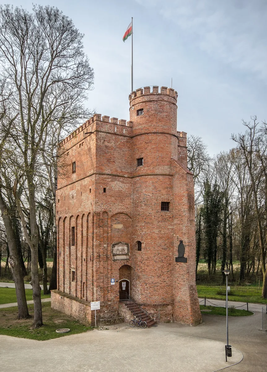
Along the way the trail passes a good number of historic buildings off the main tourist routes - manor houses, churches and palaces in villages around Wrocław, such as Kotowice with its surviving observation tower. These are more intimate routes than trips to the mountains, but accessible without a car, straight from the city boundary.
Mountain routes for experienced riders
Anyone looking for demanding terrain will find it in several Sudetes ranges covered by landscape parks - the Owl Mountains Landscape Park, the Wałbrzych Sudetes Landscape Park, the Rudawski Landscape Park or the Książ Landscape Park. This is terrain with large differences in elevation, where a cycling route quickly turns into a long, steady climb, and descents can be just as demanding as ascents - steep, stony, with sharp bends.
The natural destinations of such trips are the observation towers built on summits and ridges, for example on Wielka Sowa, Chełmiec or Borowa - here a viewpoint is both a logical place to rest and a reward for the climb. In the Western Sudetes a similar role is played by the Ślęża Landscape Park with Mount Ślęża, a mountain rising to 718 metres, visible from afar despite its modest absolute height - because it rises more than five hundred metres above the surrounding terrain. Its slopes carry a dense network of trails marked in red, yellow and blue, of varying difficulty, so a single mountain offers a route to suit anyone's fitness.
Themed trails: castles and spa towns
The region also has routes organised around a single theme, not just around the landscape. The most extensive is the walking Piast Castles Trail, 152 kilometres long, running from Grodno Castle in Zagórze Śląskie to Grodziec Castle on the Kaczawa Foothills, through fifteen Piast-era castles and strongholds - including Wleń Castle, Bolków Castle and Siedlęcin. It is a walking route, but its corridor largely coincides with roads and paths that can be used to ride a cycling version of the same journey - from castle to castle, day by day.
The second theme is the Sudetes spa towns - Szczawno-Zdrój, Jedlina-Zdrój or Kudowa-Zdrój, each with its own observation tower nearby, such as the one on Chełmiec above Szczawno-Zdrój or the one on Borowa above Jedlina-Zdrój. Spa towns usually lie in valleys surrounded by hills, so a route linking several of them naturally turns into a journey from a spa park uphill to a viewpoint and back - a different rhythm from a through mountain route, because every leg ends at a place to rest. A similar character marks the climb to the observation tower on Włodzicka Góra above Kudowa-Zdrój.
What to watch out for on mountain routes
Weather in the Sudetes can change faster than by the Oder - fog and rain can appear at the summit while it is sunny in the valley, so a route above the tree line is worth planning with a time buffer and a checked forecast, not at the last minute. Descending steep, stony sections calls for more caution than climbing - it is on these that it is easiest to lose control of the bike, especially after rain, when stones and roots become slippery.
It is also worth remembering that some trails in the landscape parks are also walking routes, shared with hikers going uphill - on narrow, scenic sections this means having to slow down and give way. On longer routes, especially those crossing several ranges at once, it is a good idea to take more water than on a lowland trip - in the mountains there tend to be fewer springs and shops along the way, and the effort on climbs is greater.
Be the first! Add a comment.
You need to log in to add a comment.
Log in