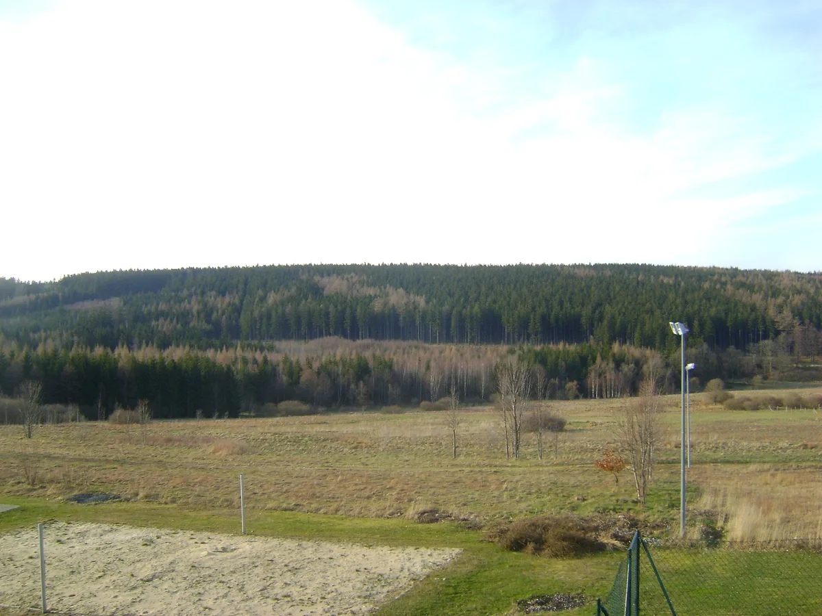
The highest hill of the Izera Foothills on the Polish-Czech border, with its summit on the Czech side and an unmarked path along the border.
Andělský vrch is a hill on the Polish-Czech border in the Western Sudetes, in the Izera Foothills (Czech: Frýdlantská pahorkatina). It is about 572-573 metres above sea level, depending on the source, and is the highest hill in the whole of the Izera Foothills.
The highest point is on the Czech side, right by the state border, between border markers IV/68/10 and IV/69. The western slope descends towards the Czech village of Nové Město pod Smrkem, the northern slope towards Jindřichovice pod Smrkem, and the eastern slope towards Pobiedna on the Polish side of the border, separated from it by the valley of the Łużycka (Strużyna) stream.
Andělský vrch has gentle slopes and a broad, dome-shaped form with an indistinctly marked summit, which makes it hard to recognise on the ground. The bedrock is made up mainly of gneiss, and on the eastern slope additionally of greisen and gneiss with fluorite mineralisation. The summit and the northern and southern slopes are covered by coniferous forest with a small admixture of deciduous trees, while lower down, on the eastern and western slopes, meadows and farmland stretch out.
A path runs along the ridge, exactly on the state border, but it is unmarked and little used. Forest roads and paths run along the western slope, and on the southern side of the hill runs the road to the former border crossing at Czerniawa-Zdrój - Nové Město pod Smrkem. Sources do not describe a separate, marked approach from the Polish side - the route has to be planned independently, for example from Pobiedna.

Be the first! Add a comment.
You need to log in to add a comment.
Log in