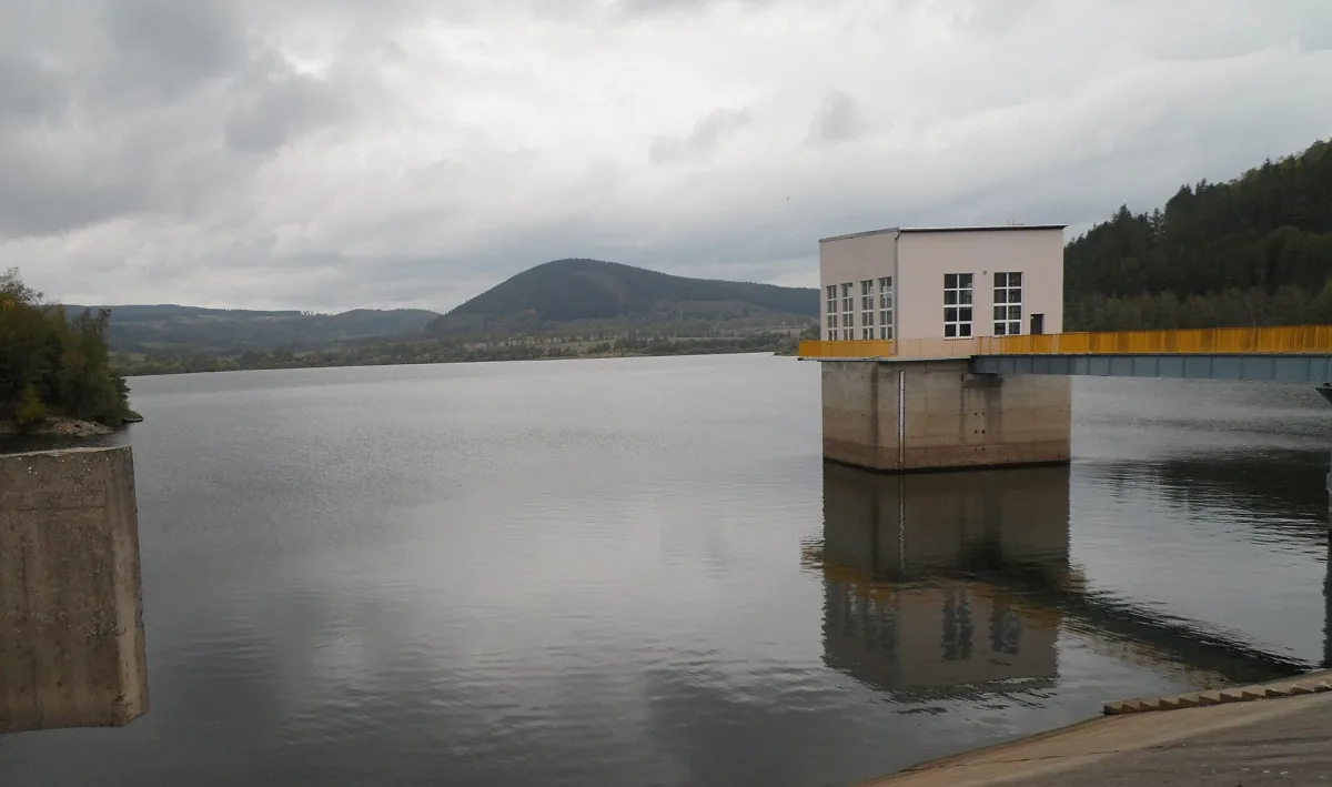
A forested peak in the Brama Lubawska, in the Eastern Sudetes, with no marked trail to the summit.
Chełmczyk is a peak in the western part of the Brama Lubawska, in the Eastern Sudetes, in the Kamienna Góra municipality, entirely covered with forest.
The hill lies north of Jezioro Bukowskie, between the villages of Stara Białka and Paczyn. It reaches 765.8 metres above sea level. Its southern slopes are especially steep.
No direct hiking trail leads to the summit itself. Two marked trails run nearby: a red one, part of the Main Sudetes Trail, and a green one.
Further away, towards Kowary, lie the Kowary Adits and the Podgórze Mine, and among the neighbouring peaks of the Eastern Sudetes are Skalnik, Ostra Mała and Zadzierna.

Be the first! Add a comment.
You need to log in to add a comment.
Log in