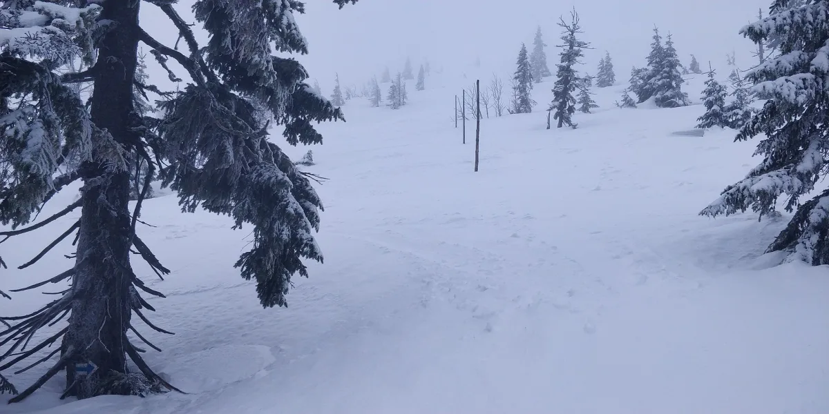
About a 5.5-kilometre forest and scenic path in Karkonosze National Park, from Jagniątków to Czarna Przełęcz, passing through successive vegetation belts up to the dwarf mountain pine.
Coral Path is a forest trail about 5.5 kilometres long in Karkonosze (Giant Mountains) National Park, leading from the village of Jagniątków to the mountain pass of Czarna Przełęcz.
The path runs at altitudes between 630 and 1350 metres above sea level, along the valley of the Wrzosówka stream, past the Paciorki rock group, and crosses the Ścieżka nad Reglami (Path above the Forest Belts). The lower section passes through an area with buildings typical of Jagniątków, further on the trail enters the forest and in places becomes steep, leading to the bottom of Czarny Kocioł Jagniątkowski, a glacial cirque in the Karkonosze.
The route shows the successive vegetation belts of the Karkonosze forest: lower montane forests, upper montane forests, and above 1050 metres above sea level the terrain is already treeless and the path becomes scenic. Beyond the upper forest line, at about 1250 metres above sea level, the subalpine belt appears with its characteristic dwarf mountain pine, and near the state border, patches of raised bogs, among the highest situated in Europe.
Above the forest line huge windthrows can be seen - the result of an ecological disaster that struck the Karkonosze in the 1980s.
Along the route there are several rock groups from which you can see Czarny Kocioł Jagniątkowski, Wielki Śnieżny Kocioł, and the peaks of Śmielec, Wielki Szyszak and Szrenica, and to the north the Karkonosze Foothills and the Jelenia Góra Valley. From the viewpoint in the dwarf-pine belt you can also see the bottom of Czarny Kocioł with Jaworowa Łąka meadow and the terminal moraine.

Be the first! Add a comment.
You need to log in to add a comment.
Log in