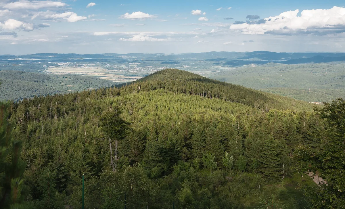
Czarna Góra peak (965 m) in the Izera Mountains near Szklarska Poręba, with scenic rock formations and hiking trails.
Czarna Góra is a peak 965 metres high in the Izera Mountains, in the eastern part of the High Ridge, just north-west of the centre of Szklarska Poręba.
The summit is built of granite gneisses interlaced with aplite veins, with an admixture of weathering-resistant hornfels, which gave it a cone-like shape with steep slopes on the southern, eastern and northern sides. The peak and its slopes are covered with spruce forest mixed with deciduous trees.
On the summit and nearby lie named rock formations: Słoneczna, Czerwone Skałki, Czarna Skałka and Dzwonnica.
Medieval prospectors, known as Walloons, considered this area rich in minerals, as confirmed by mentions in old documents, and mining work was once carried out near the summit. Already by the mid-19th century Czarna Góra was attracting numerous tourists.
From the summit and the nearby rocks there is a view of the Izera Mountains massif, the Kaczawa Mountains, Rudawy Janowickie and the western peaks of the Karkonosze (Giant Mountains). A yellow trail runs through here, coming from the Zakręt Śmierci (Bend of Death), as well as the red Main Sudetes Trail, running from Szklarska Poręba and from the crossroads below Zwalisko.

Be the first! Add a comment.
You need to log in to add a comment.
Log in