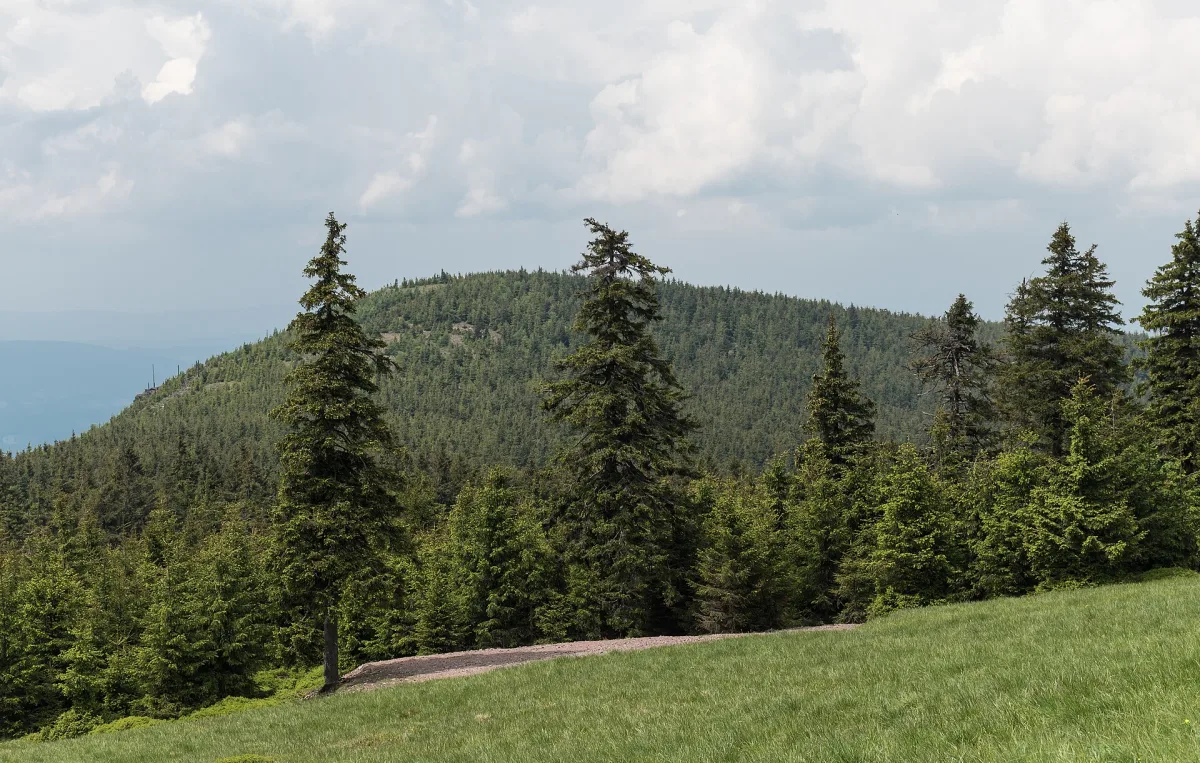
A summit at 879 m above sea level on the western ridge of Śnieżnik in the Sudetes, built of Śnieżnik gneisses and covered with spruce forest.
Czarna Kopa is a summit in the Śnieżnik Massif, in the Eastern Sudetes, rising to 879 m above sea level. It lies on the western ridge of Śnieżnik, in the Międzygórze municipality, and forms part of the area protected as the Śnieżnik Landscape Park.
The Czarna Kopa ridge divides the valleys of the Wilczka river and its two tributaries - the Czarna and an unnamed stream. From the north-east, the slope drops steeply towards the Czarny Dół valley. The former German name of the summit was Schwolzer Koppe.
The summit is built of Śnieżnik gneisses, part of the Lądek-Śnieżnik metamorphic complex. Small rocky gneiss outcrops are visible on the eastern and north-eastern slopes. The whole is covered with spruce forests of the lower montane zone.

Be the first! Add a comment.
You need to log in to add a comment.
Log in