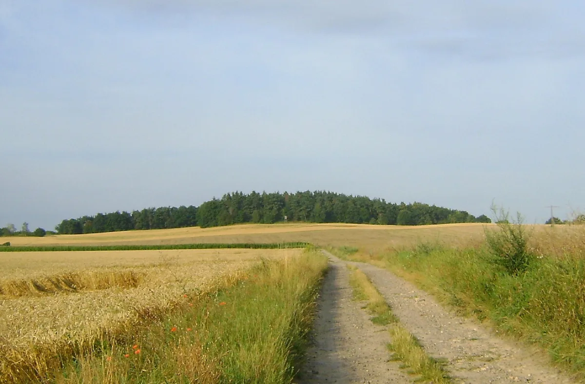
A forested hill 284.4 m above sea level on the Świdnica Plain near Świdnica, with remains of fortifications from 1762 and a green hiking trail.
Popiel is a hill 284.4 metres above sea level, lying on the Świdnica Plain in the Lower Silesian Voivodeship, about 4.2 kilometres south-east of the centre of Świdnica.
The hill takes the form of a small, elongated mound with a flat top, rising gently above the surrounding plain. The bedrock is made up of formations of the Strzegom massif, covered with Neogene and Pleistocene deposits. The summit area is covered with mixed forest dominated by pine, while further down the slopes there are meadows and farmland. The village of Makowice lies to the south-west of it.
On the south-western slope, remains of fortifications from the Battle of Burkatów and Lutomia survive, fought in 1762 during the Seven Years' War.
A green hiking trail, 45 kilometres long, runs across the hill, linking Walim via Bojanice, Wieruszów and Krzyżowa with Popiel and Świdnica. Popiel belongs to the list of peaks of the Sudetes Crown, and is closest to reach from the direction of Makowice.
It is worth planning a longer visit from Świdnica: the town features, among others, the Church of Peace in Świdnica.
Close to it is also the Cathedral of St Stanislaus and St Wenceslaus, while the Museum of Old Trade in Świdnica tells the history of local commerce.

Be the first! Add a comment.
You need to log in to add a comment.
Log in