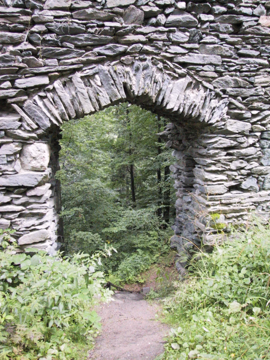
The ruin of a medieval castle in the Bystrzyckie Mountains, destroyed by the Hussites in 1428 and never rebuilt.
Szczerba Castle is the ruin of a medieval stronghold in the south-eastern part of the Bystrzyckie Mountains, in the Central Sudetes, a few hundred metres north of the village of Różanka, near Gniewoszów.
The stone castle was built by Polish knights, and researchers suspect that a small stronghold may have already existed on this spot at the time of Bolesław the Brave's disputes with Bohemia at the start of the 11th century. The present building dates from the turn of the 13th and 14th centuries, with an extension in the 14th-15th centuries. Towards the end of the 13th century the Bohemian king Wenceslaus II is said to have granted the stronghold to the Cistercian monastery in Kamieniec Ząbkowicki, though the monks did not hold it for long, and the castle was already destroyed in 1318.
In 1358 the estate was ruled by Otto Schuler, son of Otto von Glaubitz of Lusatia. The Glaubitz family may have taken over these lands when the Kłodzko region came under the rule of John of Luxembourg. The final blow to the castle came in 1428, when Hussite troops captured and destroyed the stronghold using artillery, at the time a relatively modern weapon. The castle was never rebuilt.
The defensive walls, of an irregular, oval shape resembling a horseshoe with a straight western side, were over 100 metres long, up to 9 metres high and about 1.5 metres thick. On the southern, south-western and western sides a deep moat was hewn into the rock. The small courtyard was about 40 metres long and 10-18 metres wide, and the castle was reached by a narrow, three-metre main gate with a drawbridge, as well as an additional postern in the northern wall. Along the northern wall stood two-storey residential buildings with four rooms and cellars, and a tower stood in the north-eastern corner.
Stone from the ruins was gradually taken away by local residents from the 16th century onwards. Despite this, a well-legible ruin has survived: fragments of the defensive walls reaching up to 9 metres in height in places, the outline of the courtyard, the base of the tower, a fragment of the residential building, the gate and traces of the moat. The ruins are listed on the register of immovable heritage monuments, with the dating in the register given as the 14th century.

Be the first! Add a comment.
You need to log in to add a comment.
Log in