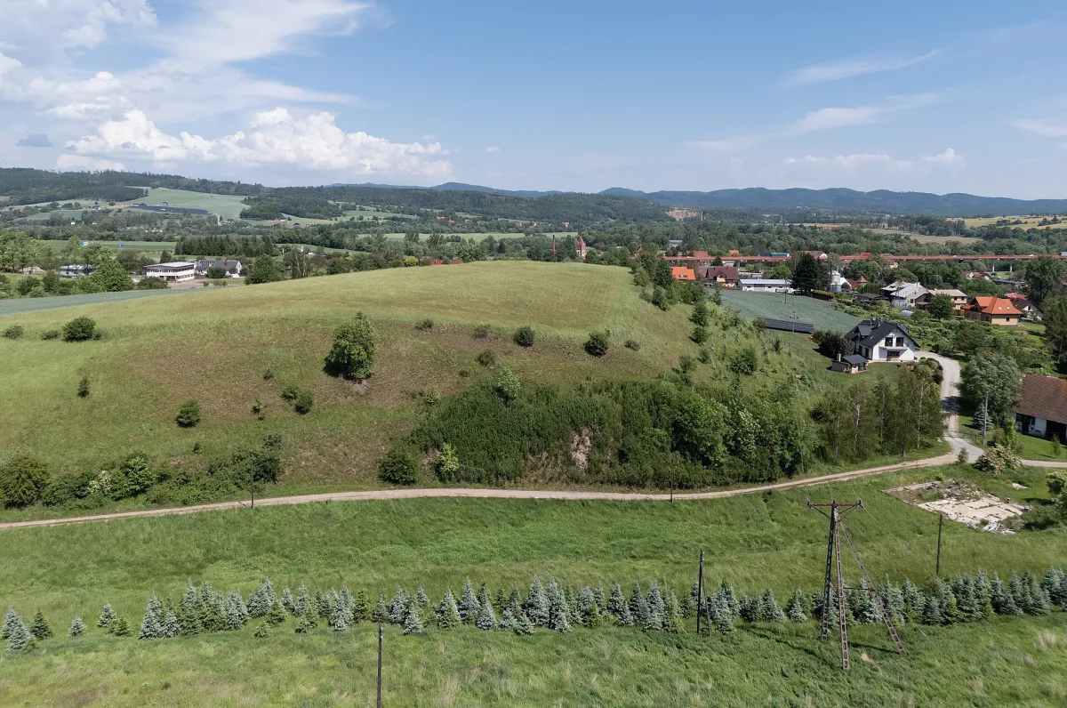
An elevation about 320 m above sea level in the Ustronie district in the northern part of Kłodzko, the site of a former municipal brickworks.
Szpitalna Górka is an elevation in the Kłodzko Valley, in the Ustronie district in the northern part of Kłodzko.
The hill is about 320 metres above sea level and is built of metamorphic shales covered by a thick layer of Pleistocene deposits, among which glacial clays, once used as a ceramic raw material, predominate. Today the summit and slopes are occupied by meadows and fields, and at the foot, on Półwiejska Street, stand several farm buildings.
From 1575 until the end of the Second World War a municipal brickworks operated here. It supplied building material for Kłodzko's churches, including the Church of the Assumption of the Blessed Virgin Mary in Kłodzko - as early as 1575, 20,750 roof tiles were produced there. Traces of the former works survive to this day: pits left by clay extraction and remains of buildings.
Nearby, in the centre of Kłodzko, is the Kłodzko Fortress, and the Underground Tourist Route runs beneath the town. Families with children can also visit the nearby "Minieuroland" Miniature Park.

Be the first! Add a comment.
You need to log in to add a comment.
Log in