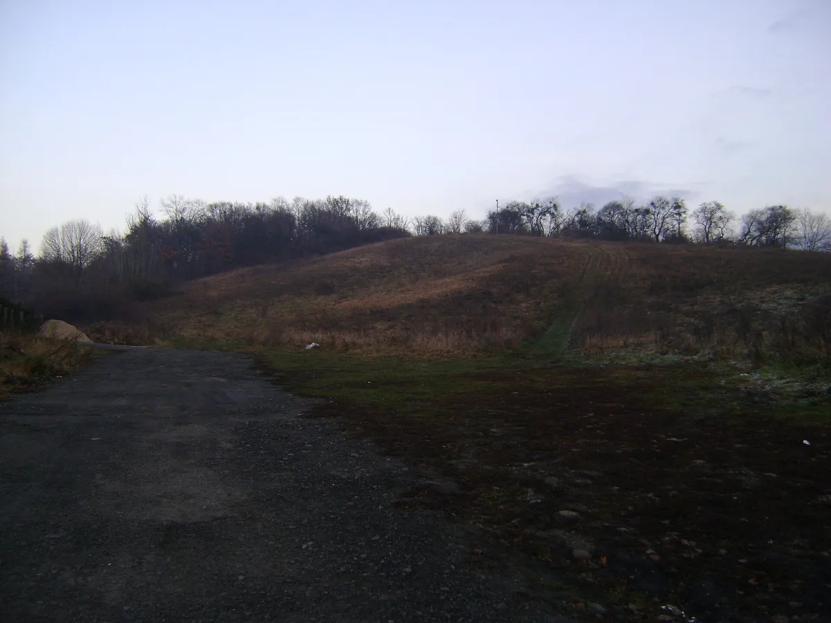
An elevation (219 m above sea level) in the Trzebnicki Ridge, within the town of Trzebnica, with a landscape and recreational park on its slopes.
Winna Hill is an elevation 219 m above sea level, lying in the eastern part of the Trzebnicki Ridge, in the north-eastern part of the Trzebnickie Hills known as the Kocie Góry, within the town of Trzebnica, about 1.1 km north-east of the town centre.
The elevation has a dome-like shape, with a gently sloping eastern and northern side, while the western and southern slopes are more sharply defined and give Winna Hill the character of a mountain. It is built from the ground up of Tertiary Miocene and Pliocene clays, covered by Quaternary glacial and aeolian deposits.
A small part of the summit and the south-western part of the slope are covered by patches of woodland. The southern parts of the slope are mostly occupied by allotment gardens and orchards, while the remaining slopes are covered by a landscape and recreational park, today known as the Trzebnicki Winna Góra Park. The summit rises above the north-eastern part of Trzebnica, which lies at its foot.

Be the first! Add a comment.
You need to log in to add a comment.
Log in