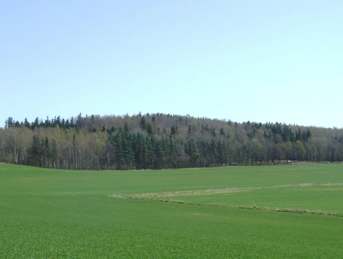
The highest hill of the Niemcza-Strzelin Hills above Ostroszowice, with no marked trail to the summit.
Wrona is a hill 458 metres above sea level in south-western Poland, in the southern part of the Niemcza-Strzelin Hills, on the Bielawa Hills, about 3.4 kilometres south-east of the centre of Bielawa.
The hill lies in the central part of the Bielawa Hills and is the highest point of the entire Niemcza-Strzelin Hills. It towers over the village of Józefówek to the north-east. It has the shape of a small dome with gentle slopes, and its ridge, running from north-west to south-east, has an almost level summit line, which makes the highest point hard to identify on the ground. On the south-eastern side, separated by a small saddle, lies a twin hill of the same height, Orzeł.
The bedrock is made up of gneiss covered by a layer of younger deposits, clays, gravels, sands and loess from the Pleistocene glaciation. The entire hill and part of its slopes are covered by deciduous forest with an admixture of coniferous trees, while the rest of the slopes are occupied by farmland and meadows, whose former boundaries are marked by rows of trees and shrubs. On the south-western slope, a few metres below the summit line, there is a group of rock blocks reaching several metres in height. At the foot of the hill, on the southern side, lies the village of Ostroszowice.
No marked tourist trails lead to the summit of Wrona. The highest point, hard to find, lies on the south-eastern side, about 400 metres from the local road from Myśliszów to Ostroszowice. It can be reached by a path branching off the yellow trail running from Piława Górna to Bielawa, and a view of the surrounding area is offered by the nearby observation platform below Wrona. The hill is counted among the Crown of the Polish Sudetes, as are the neighbouring Kłobucznik and Panek.

Be the first! Add a comment.
You need to log in to add a comment.
Log in