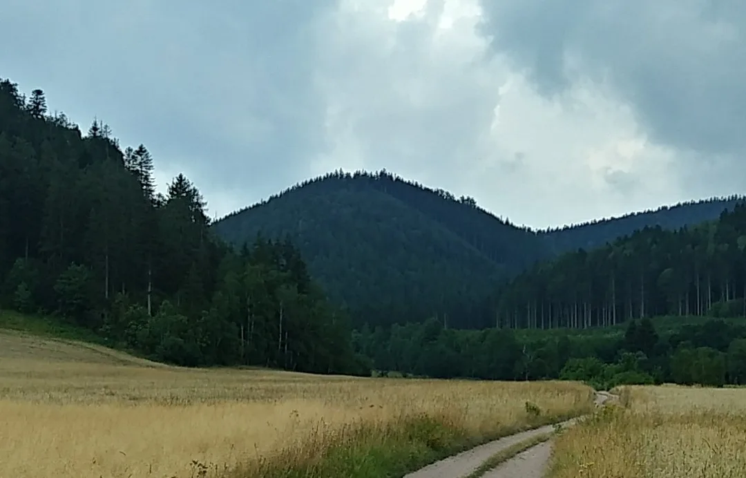
A wooded summit 747 m above sea level in the Krucze Mountains (Kamienne Mountains, Central Sudetes), with red porphyry rocks on the eastern slope.
Bógdał is a summit 747 m above sea level, lying in the southern part of the Krucze Mountains, within the Kamienne Mountains, in the Central Sudetes. It rises about 3 km south of the centre of Lubawka, on a side ridge branching off from Szeroka.
The mountain lies on a small side ridge running north-east from Szeroka, between the Valley of Love (Dolina Miłości) to the west and the Krucza Valley to the east. It has a dome-shaped form, steep slopes and a flat, elongated top.
On the eastern slope of Bógdał lies a group of porphyry rocks with a characteristic red colour. The whole mountain is built of Permian porphyries, belonging to the formations of the western wing of the Intra-Sudetic Basin. The slopes and summit are covered with lower-montane spruce forest with an admixture of deciduous trees.

Be the first! Add a comment.
You need to log in to add a comment.
Log in