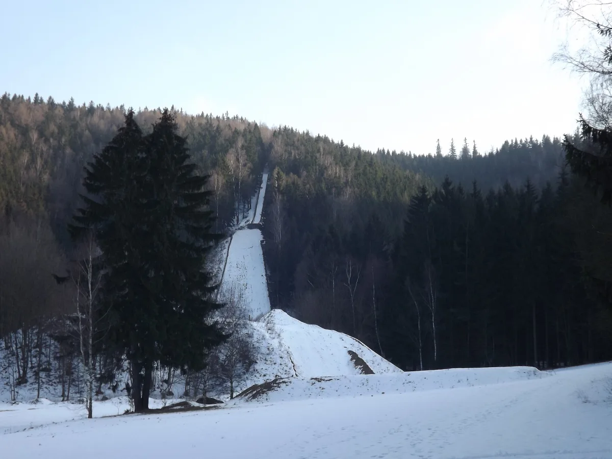
A 681 m elevation in the Krucze Mountains near Lubawka with a viewpoint over the Lubawka Gate and the Karkonosze.
Krucza Skała is a 681-metre elevation in the Krucze Mountains, in the Central Sudetes, south-east of the centre of Lubawka.
The hill is formed of resistant Lower Permian volcanic rocks, mainly trachybasalts and trachyandesites, along with acidic rocks: rhyolites and rhyolite breccias, surrounded by Rotliegend red beds. The entire summit and slopes are covered by an extensive lower montane spruce forest with an admixture of deciduous trees.
From the summit stretches a panorama of the Lubawka Gate, the Karkonosze (Giant Mountains) and the surrounding hills.
Two hiking trails run through the area of Krucza Skała: the green trail from Lubawka to Krzeszów, and the blue trail, running below the summit through the Krucza Valley from Lubawka to Chełmsko Śląskie.
On the north-eastern slope of the hill stands a ski jump built in 1924, and an abandoned Calvary shrine.
Nearby are other elevations of the Krucze and Kamienne Mountains, including Sępia Góra, Bógdał and Skowrończa, and, a little further away, the Cistercian Abbey in Krzeszów and the Głazy Krasnoludków Nature Reserve.

Be the first! Add a comment.
You need to log in to add a comment.
Log in