
Rivers of Lower Silesia and how they differ
The region lies where the mountains meet the lowlands, so the rivers flowing through Lower Silesia vary greatly in character depending on where they rise. The Oder (Odra) flows through the region as an already large, largely canalised river: between Kędzierzyn-Koźle and Brzeg Dolny it is controlled by 22 barrages with locks, and its average gradient along the whole course is gentle. This makes the current mostly calm and predictable, although the presence of locks and hydrotechnical structures means the route needs to be checked before setting off.
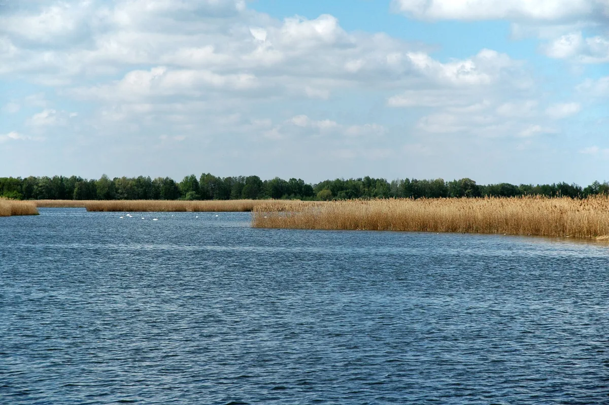
The Barycz, a right-bank tributary of the Oder flowing through the Barycz Valley, is its opposite. It is a lowland river, with a gradient of only a few per mille, running through a wide, partly marshy valley among forests and the extensive complex of the Stawy Milickie ponds. The current here is gentle, and the route runs through an area protected as part of the Barycz Valley Landscape Park, where what matters most is peace and quiet and waterfowl, not the pace of the trip.
The Bóbr, the largest left-bank tributary of the Oder, rises in the Karkonosze (Giant Mountains) on the Czech side and keeps a mountain-to-foothill character over a long stretch: a fast current, a winding valley and gorges - among them the one between the Rudawy Janowickie and the Kaczawa Mountains, and the Borowy Jar gorge between the Izera Foothills and the Kaczawa Mountains. The river is also dammed by reservoirs: Lake Pilchowickie by the Pilchowice Dam, Lake Złotnickie and Lake Leśniańskie. For kayakers this means alternating stretches of live current and calm water backed up in front of a dam, and at the dams themselves, having to get out of the kayak and carry it round along the bank.
The Kwisa, a tributary of the Bóbr rising in the Izera Mountains, has a similar structure: mountainous and fast in its upper course, moderate in the middle, and turning into a lowland river in its lower course. Between Gryfów Śląski and Leśna it flows through a deeply cut, narrow and winding valley, and along its course lie two artificial lakes - Złotnickie and Leśniańskie, dammed at the start of the 20th century, next to Leśna Castle. The Nysa Łużycka, in turn, is a border river: for almost 200 kilometres it marks the Polish-German border, and it is navigable, including for smaller craft, mainly on its final, lower stretch before it joins the Oder.
Stretches for beginners and the more demanding ones
The region's lowland rivers - the Barycz and the lower stretches of the Oder, the Kwisa and the Nysa Łużycka - are suited to trips for beginners and families with children. The current here is gentle, there are no sudden rapids or stony shallows, and the main challenge tends to be navigating the meanders and keeping direction on wide, calm water. These are stretches where watching nature matters more than technical skill.
More demanding conditions are found on the mountain and foothill stretches of the Bóbr and the Kwisa, where the river cuts through rocky gorges, the current speeds up, and the channel tends to be narrower and more winding. The Bóbr is developed enough for tourism that an annual, multi-day kayak trip has been organised on it for years, held every spring, in May; the route then covers several days of paddling along a stretch that is navigable by kayak over a total of more than two hundred kilometres. A trip like this already calls for prior experience with running water of variable character, because a single day's paddling can include both a calm backwater in front of a dam and a lively, stony stretch in a gorge.
Paddling through Wrocław - a different way to see the city
Wrocław itself lies at the point where the Oder branches into more than a dozen arms flowing around more than a dozen islands - the so-called Wrocław Water Junction, with separate channels known as the Northern, Southern, Upper and Lower Oder. Paddling through the centre, you pass one island after another - among them Piasek, Słodowa and Kępa Mieszczańska - while the spans of bridges pass overhead, including the historic Tumski Bridge and the suspended Grunwaldzki Bridge. This is the reverse of the view from the riverside boulevards: you see the city from the water, from the level at which it was built and used for centuries.
Water traffic in this part of the city is regulated by a system of canals and locks - among them the City Canal, the Flood Canal and the Navigation Canal, served by several locks placed along successive branches of the river. For a kayaker this means that some of the city routes also run through locked stretches, not only through open current - worth bearing in mind when planning a route through the centre, since a lock calls for different behaviour on the water than an ordinary river stretch.
What you see from the level of the river
The view from a kayak shows the region differently than a road or a hiking trail does. On the Barycz it's mainly the extensive complexes of fish ponds, laid out as far back as the Middle Ages and today one of the largest systems of this kind in Europe, along with the reed beds and old-growth stands where waterfowl nest. On the Bóbr and the Kwisa, the water reveals the rock walls of the gorges, inaccessible directly from any road, and by the dammed reservoirs, wide expanses of lake surrounded by forest, quite different in character from the river stretches above and below the dam.
In Wrocław, the water gives the best view of the scale and age of the city's bridges - riveted structures more than a hundred years old stand next to modern crossings, and the line of buildings on Ostrów Tumski (Cathedral Island) and along the embankments is revealed in a way invisible from the street. The flood embankments that run along most of the city stretches of the Oder double as walking and cycling paths, so a water route can be planned with someone accompanying it on foot or by bike on land.
Safety and barrages
The biggest hazard on lowland rivers tends not to be waves but obstacles invisible from a distance: fallen trees, low footbridges and bank reinforcements that are easy to hit at low water levels. On canalised stretches, such as much of the Oder, there is also the traffic of barrages and locks - before each one you need to pull in to the bank in advance and check whether the structure can be passed by kayak at all, or whether the equipment has to be carried round by land.
On the mountain and foothill stretches of the Bóbr and the Kwisa there is the added risk of a sudden rise in water level after rainfall, and of the dams themselves - Lake Pilchowickie, Złotnickie and Leśniańskie all end in structures that cannot be paddled through under any circumstances, and the approach to them has to be identified in advance. A life jacket, checking the forecast and the current water level before setting off, and paddling with company rather than alone, are basic requirements whichever river you choose. For beginners, the safest introduction remains the calm lowland stretches - only with that experience does it make sense to plan a trip on a lively, gorge-cut mountain stretch.
Be the first! Add a comment.
You need to log in to add a comment.
Log in