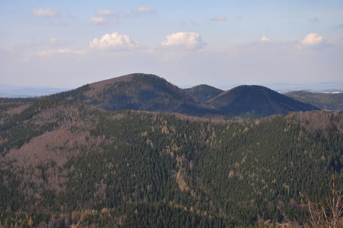
A summit 776 m above sea level in the Wałbrzych Mountains, in the Rybnicki Ridge massif, within the Wałbrzych Sudetes Landscape Park.
Sucha is a summit in the Wałbrzych Mountains, in the Central Sudetes, rising to 776 metres above sea level south-east of the Podgórze district of Wałbrzych.
The summit lies in the Rybnicki Ridge massif, within the Wałbrzych Sudetes Landscape Park, in the south-eastern part of the Wałbrzych Mountains. On its south-western side, below the top, lies the Przełęcz pod Borową pass.
The hill is built of effusive rocks and has the shape of a cone with steep slopes and a clearly marked top. The whole is covered with lower-montane spruce forest.
Until 1949 the summit bore the German name Dürre-Berg. The name Sucha was introduced officially in the same year, replacing the earlier designation.
The closest, less than a kilometre away, are Borowa and the observation tower on Borowa. In the area it is also worth visiting Zamkowa Góra and Rogowiec Castle on the neighbouring hill of Rogowiec.

Be the first! Add a comment.
You need to log in to add a comment.
Log in