Karłów sits at the foot of the Table Mountains: Szczeliniec Wielki, viewpoints and Prussian fortifications. See what to plan for a day.
Which peak in Karłów should you choose?
Szczeliniec Wielki is the highest peak of the Table Mountains (Góry Stołowe), 922 m above sea level, in the Table Mountains National Park. It is built of cracked Late Cretaceous sandstone, and on top you can pick out rocks with names of their own. A trail dating from 1814 leads up, with viewing terraces. The summit carries the "Free", "Great views" and "Solo" tags, but check the rules for moving around the national park before you go and stay on the trail.
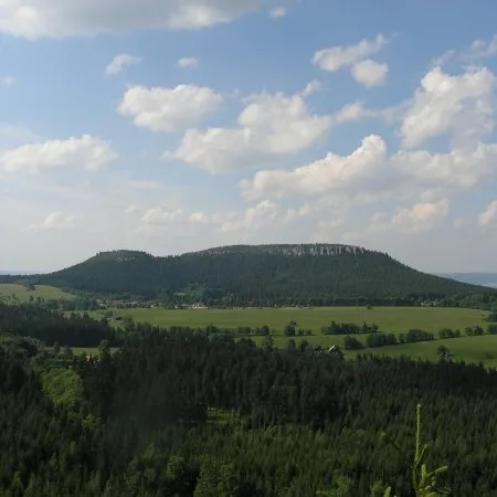
A calmer option is Ptak, a domed hill of 841 m made of block sandstone, the youngest rock layer of the Table Mountains. It has a clear summit and a gentle western slope, while the other sides drop almost vertically for a dozen metres. Its old German name was Vogelberg.
Where are the best views?
Ochota Magdaleńska is a sandstone rock tower above the Road of a Hundred Bends (Szosa Stu Zakrętów), at about 670 m above sea level. A railed viewpoint on top looks over the Broumov Basin. The rock stands by the Main Sudeten Trail, so it fits easily into a longer route. The place carries the "For couples" and "Solo" tags.
What is the history of the fortifications nearby?
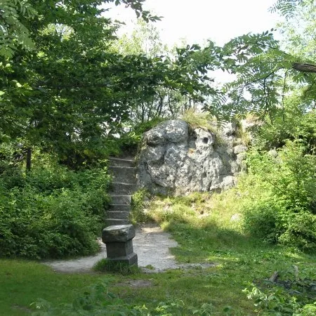
Fort Karola on Ptak hill is what remains of a small Prussian watchtower from 1790. It was built on the order of Frederick William II on the then Prussian-Austrian border, with a garrison of a few men, to guard the road to Radków. Only remnants survive. The Battery above Pasterka is similar in character: a Prussian timber-and-earth fortification from the turn of 1790 and 1791 on the slope of Szczeliniec Mały. It arose after the War of the Bavarian Succession, when Austrian troops threatened the Kłodzko Fortress.
From Karłów it is easy to reach Kłodzko, Kudowa-Zdrój and Nowa Ruda.

 Mountains