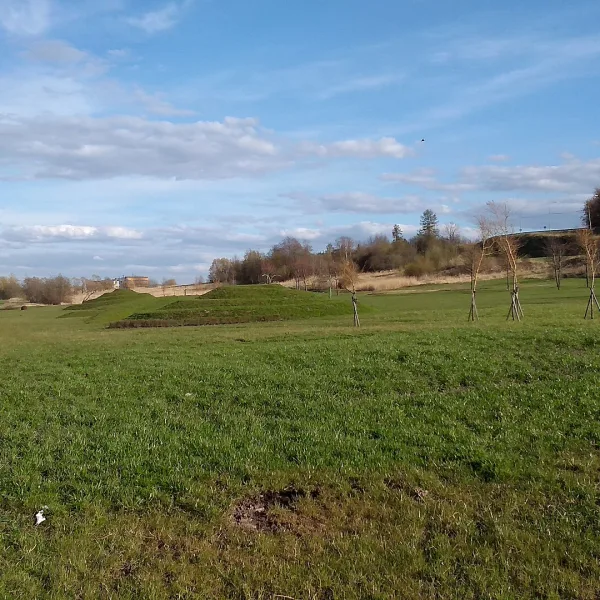
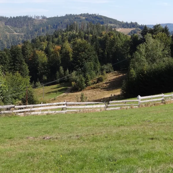
Mountains in Rząśnik means Leśniak, Rogatka and Skała: hills of the Kaczawskie Mountains from 485 to 677 m in Złotoryja County.
Where to find rocks with odd names?
On Leśniak. Rocks of fantastic shapes add variety to the top and slopes: Czarcia Ambona, Klęśniak and Mszak. The massif is forested, and the blue International Trail E3 runs below the summit. The approach follows that trail, and the sources give no further route details.
Do Rogatka and Skała have a trail?
The sources give no marked trails for them. Rogatka is about 490 m high, and Skała is 485 m and lies between Rogatka and Babiniec. Both hills are built of old Palaeozoic metamorphic rock, that is greenstone, green schist and phyllite of the Kaczawskie metamorphic complex. The ridges have copses, fields and meadows.
How to combine them into one trip?
Rogatka and Skała lie less than a kilometre apart, so you can walk both in a day. Leśniak is a separate goal, next to Okole. All three are free and good for a solo walk. Take a map to Leśniak and its surroundings, because apart from the E3 trail the sources describe no other routes.
Other places in the village are on the page for attractions in Rząśnik, and the ranges of the whole region on the mountains page. Further away lie Złotoryja and Wojcieszów.

 Mountains