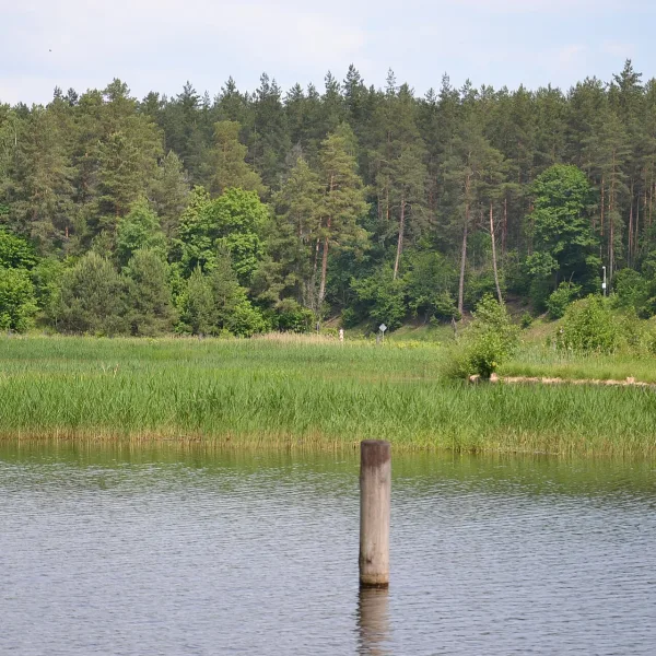
Mountains in Zachełmie: Chełm, Kucznik, Przesiecka Góra and Rudawka are four granite peaks of the Karkonosze Foothills. Pick yours.
Which peak is closest to the village?
Zachełmie lies right at the foot of Chełm (483 metres). It is built of Karkonosze granite and towers over Podgórzyn Dolny, with small outcrops on its eastern slope. The road at the western foot leads from Sobieszów to the village. It is a peak in the central part of the Karkonosze Foothills, so it is a good place to start exploring the area.
Which peak links with a castle?
Kucznik (577 metres) lies east of Zachełmie. The black trail from Sobieszów through Chojnik Castle to Podgórzyn Górny crosses it, so you can visit the castle on the way. There are rocks below the summit, and to the north-east it joins the Studnik hill. Within a few kilometres lie other viewpoints and peaks of the Karkonosze Foothills.
Where to look for rocks and streams
Przesiecka Góra (610 metres, Der Göllner in German) lies between Przesieka and Zachełmie. It has outcrops and cliffs, including a formation called Schodki, and nearby a stream forms the Podgórna Waterfall. Rudawka (625 metres) lies across the valley, south-west of the village, in the Karkonosze Intramontane Basin, which separates the Karkonosze from the Rudawy Janowickie. Its German name is Rotehübel.
More ideas come from attractions in Zachełmie, the Zachełmie: nature page, the list of mountains across the region and neighbouring Szklarska Poręba.

 Mountains