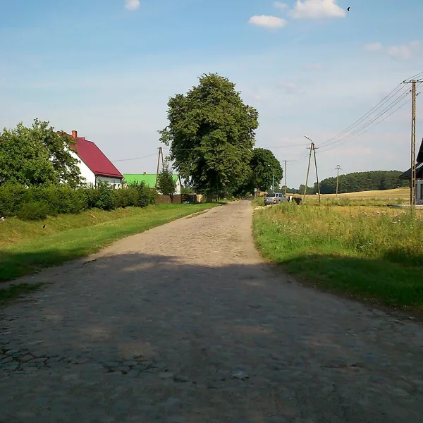
Scenic views in Wojcieszów come from the peaks of the Eastern Ridge of the Kaczawskie Mountains, from Zadora to Połom, rising above the town.
Where do you look out over the Sudetes from Wojcieszów?
All six places on this page are summits, and none has a tower or platform in its description. The highest is Góra Połom (667 m), above Wojcieszów in the Złotoryja district. The sources give no marked trail or viewpoint on it, so it is a goal for people who plan their route with a map. Worth knowing before you set off. The Kaczawskie Mountains are one of the lower ranges of the Western Sudetes, and Wojcieszów lies in their very heart. In the same area rise Skopiec and the Góra Miłek nature reserve, which protects part of the range.
Which peak should you pick depending on your time?
For a few hours choose Zadora (454 m): its top is a fairly steep mound on an even ridge, and the western slope borders Wojcieszów Dolny. Half a day goes to Trzciniec (484 m) with its marble in the rock and gallows ruins on the pass. For a longer route plan Polanka (546.6 m, two summits), Chmielarz (585 m, small rocks on the top) and Marciniec (624 m), which lies east of the town.
How do you link these peaks into one route?
They sit on one ridge that runs from Bukowinka through Rogacz and Dłużek towards Wojcieszów. So walk from one to the next instead of returning to town each time. Check the approach beforehand, because the sources describe no marked route to Chmielarz or Marciniec. Trzciniec closes the ridge from the east, and Polanka sits between it and Chmielarz. For Zadora and Trzciniec plan a shorter outing, for Marciniec and Połom a longer one. On Marciniec spruce forest covers the whole massif, and below Chmielarz farmland stretches out, so the landscape shifts from forest to fields.
See also scenic views across the region, things to do in Wojcieszów and the pages for mountains and solo trips. Further on lies Proboszczów.

 Mountains