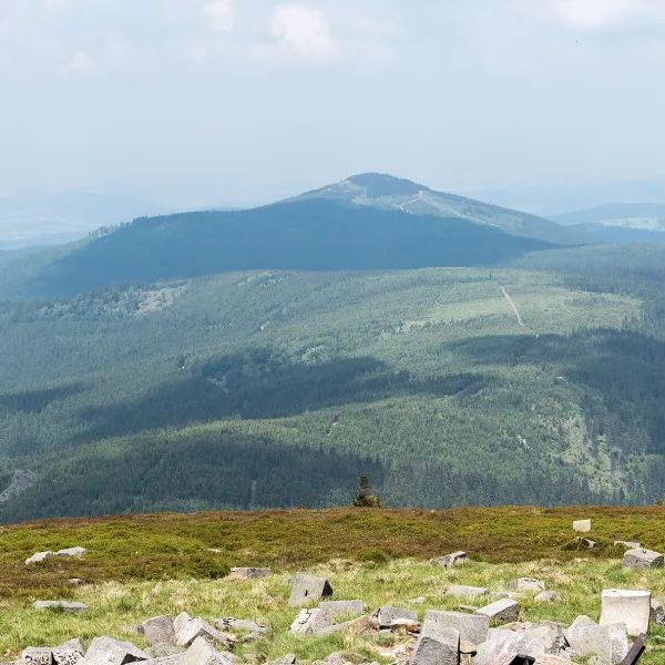
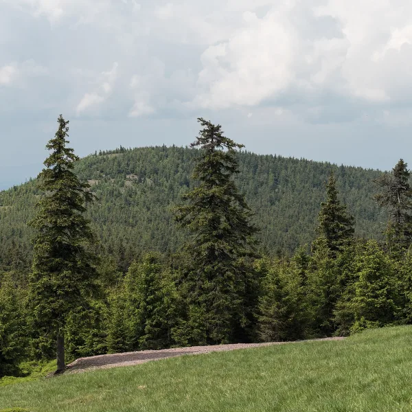
Mountains in Międzygórze: summits of the Śnieżnik Massif, from 703 to 1210 m above sea level. Find the one that fits your fitness and plan.
Which summit is the highest, and which is the easiest to tick off?
The highest is Średniak at 1210 m, a prominent point on the ridge that runs west from Śnieżnik. The Śnieżnik Pass separates it from Śnieżnik itself, which rises less than two kilometres further on. The summit is built of phyllites of the Stronie series, while the western slopes of the massif are made of Śnieżnik gneiss. Right behind come Jaworowa Kopa (1138 m), on the way to Śnieżnik, and Smrekowiec (1123 m). Both lie in the Śnieżnik Landscape Park, and in German times they were called Urlichkoppe and Heuboden. They are neighbours, so you can visit both in one day.
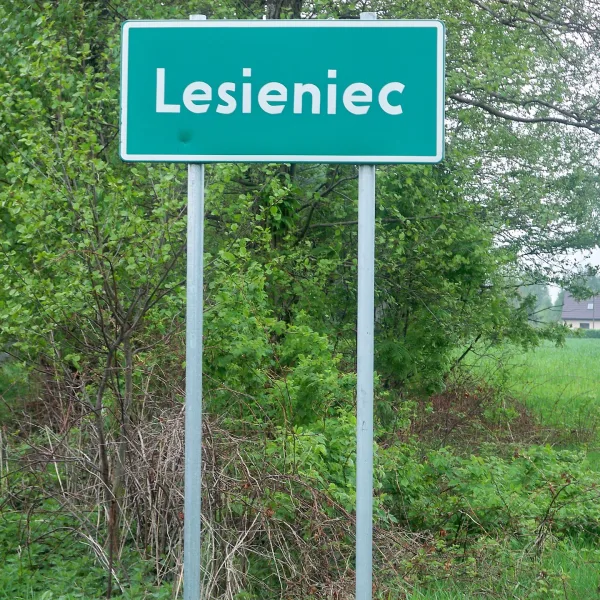
The lower hills take less time. Lesieniec (868 m) is an understated wooded ridge without rocks, on the slope of much taller Śnieżnik. It is easy to walk past it without realising it is a separate summit. Two marked trails lead there: a green one from Międzygórze and a blue one.
Where are the rocks and the more interesting terrain?
Toczek (713 m) has rock formations called the Rock Gate and the Tower on its southern and south-eastern slopes, and trails to Śnieżnik and Iglica cross the summit. Spruce forest covers the lower part and mountain meadows the upper. Czarna Kopa (879 m) separates the valleys of the Wilczka and its tributaries, and its slope drops steeply towards the Czarny Dół valley. It is built of Śnieżnik gneiss and covered in spruce forest.
Góra Modrzewiowa (703 m) is a narrow ridge that divides the Muszany Dół valley from the gorge of the Upper Nysa. The western slope above the gorge is very steep and craggy, the eastern one gentler. Seen from the west, this is where the massif begins.
What else to plan nearby?
The summits pair easily with a walk around the village. See the full list of attractions in Międzygórze or pick only the routes for walking alone. All mountains of the region are gathered on mountains of Lower Silesia. Check trail marking before you leave, because the descriptions do not give it.

 Mountains