Mountains in Przesieka: Karkonosze summits from 682 to 1388 m above sea level. Match the route to your fitness, from wooded Płonik to a boulder-field ridge.
Where are the highest summits?
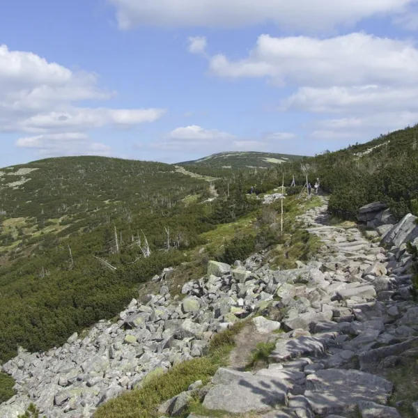
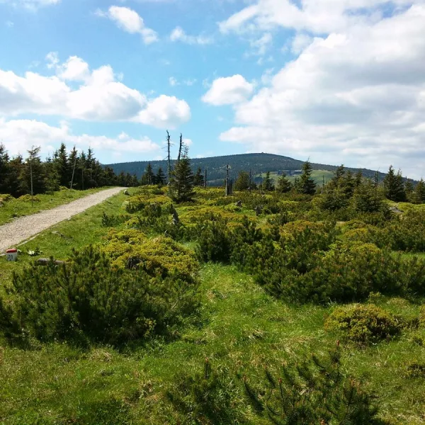
The highest is Tępy Szczyt (1388 m) in the eastern part of the Silesian Ridge, between Mały Szyszak and Smogornia. The Czech border runs directly south of the summit. It is built of Karkonosze granite, and its upper parts are covered by a boulder field, a rock rubble without vegetation. Lower down grow dwarf pine and upper montane spruce forest. Trails lead from here to Szklarska Poręba and Karpacz.
Next comes Ptasi Kamień (1215 m), called Čihadlo on the Czech side. The border separates the Karkonosze Pass in the east from the Dołek Pass in the west, and on the Polish side the summit lies in the Karkonosze National Park. A small rock stands on top, and upper montane spruce forest covers the slopes. The land on the Polish and Czech sides belongs to separate national parks, so it pays to keep to the trails.
What to choose in the middle of the scale?
Sucha Góra (1101 m) is a summit of the Silesian Ridge, formerly Dürre Berg. Garb (1087 m) rises above the Kozacka valley on the northern slope, with the Bielec rock formation below. Ptasiak (1046 m) branches off Smogornia towards the north, ends above Przesieka and lies between the Podgórna and Myja valleys. Its top is crowned with the Bird Rocks.
Which summit is the easiest to start with?
The lowest are Susz (708 m) and Płonik (682 m), both built of Karkonosze granite. Susz stands west of Borowice, with single rocks scattered over its southern slope. Płonik is reached by a blue trail from Przesieka to the Karkonosze Pass and by a yellow one through Borowice. Susz lies right next to Podgórna Waterfall, so it combines easily with a short walk to the cascades. Check the route before every outing, because the descriptions give no marking conditions. For a wider plan see attractions in Przesieka or mountains of Lower Silesia.

 Mountains