Nature in Przesieka means a waterfall in the forest, granite rocks and Karkonosze ridges with boulder fields. See what to pick for a quiet day.
What landscape does granite make in Przesieka?
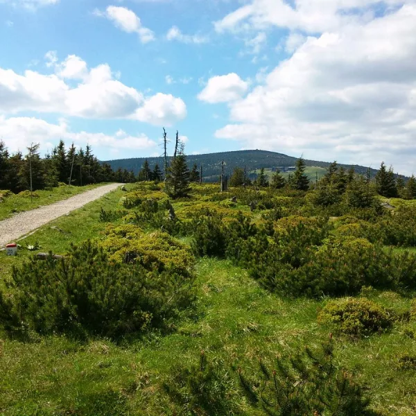
Almost everything you will see here is built of Karkonosze granite, from low Płonik (682 m) to Tępy Szczyt (1388 m). Spruce forests grow on the lower hills, upper montane spruce forest and dwarf pine higher up, and boulder fields on the ridge itself. In a small area you can see several layers of vegetation and rock sculpture. Płonik lies in the middle part of the Padół Śródgórski basin, and Tępy Szczyt on the main ridge, in the eastern part of the Silesian Ridge between Mały Szyszak and Smogornia. The difference between them is in practice the difference between a quiet forest walk and a stone rubble above the tree line.
Which waterfall and rocks to see first?
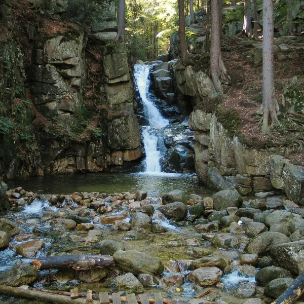
Podgórna Waterfall is the third highest in the Polish part of the Karkonosze. The stream falls in two cascades from a 10-metre ledge into a pot, with granite cliffs of up to 15 metres on both sides. A black trail from Przesieka to Sosnówka runs beside it. Susz rises less than two kilometres away, so the two targets combine easily into one route.
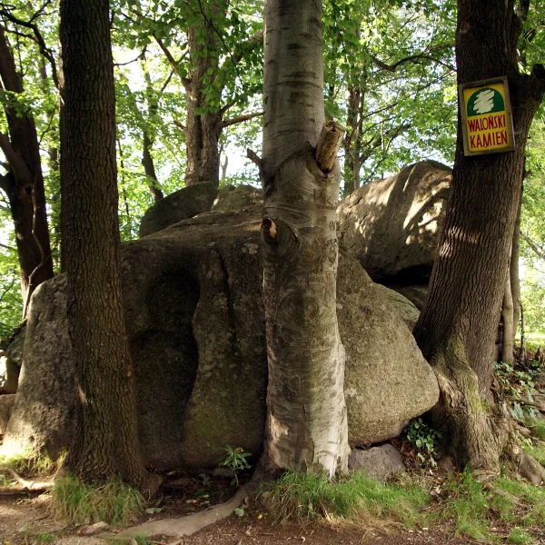
Waloński Kamień is a few granite rocks over 2 metres high at the foot of Płonik. Two joined weathering pots, which ended up on the side of the rock after the block toppled, resemble a human figure. The rock is described in the 15th-century Walloon Books as a landmark, which is why the carvings on its surface are attributed to the Walloons. It is nature with a touch of history, so it suits an unhurried walk.
Where to see boulder fields and rocks on the ridges?
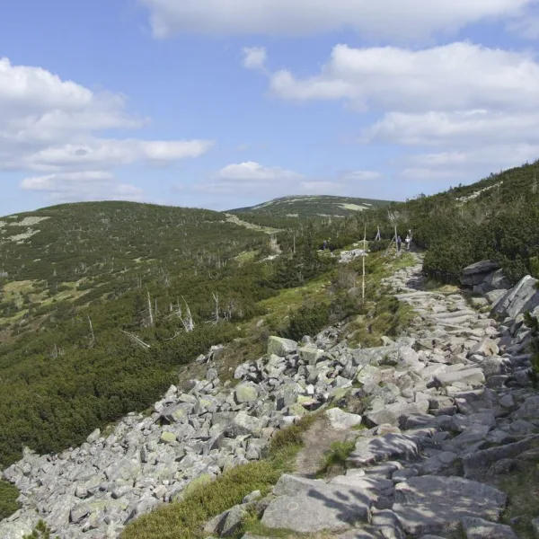
A boulder field covers the upper parts of Tępy Szczyt. Ptasi Kamień (1215 m) lies in the Karkonosze National Park, and on the other side of the border in the Czech Krkonošský národní park. Rocks on the summits are found on Ptasiak (1046 m, the Bird Rocks) and Susz (708 m), and Garb (1087 m) has the Bielec formation. Sucha Góra (1101 m) is another summit of the Silesian Ridge, formerly Dürre Berg. Tępy Szczyt was called Kleines Rad, Mittelberg and Sturmhaubenköppel in German, and Ptasiak lies between the Podgórna and Myja valleys. All these names show how closely the area is tied to the former inhabitants of the Karkonosze.
How to plan the outing?
The easiest start is the waterfall and the rocks, with the mountains left for a separate day. Check trail marking, because the descriptions do not give it, and in national park areas stay on the designated paths. Wider lists are attractions in Przesieka, mountains in Przesieka and free attractions in Przesieka. Read about the nature of the whole region on nature of Lower Silesia.

 Parks and nature