Scenic views in Przesieka are found on Karkonosze summits, from 682 to 1388 m above sea level. Here are the targets, from short Płonik to the border.
Where to look for views in Przesieka?
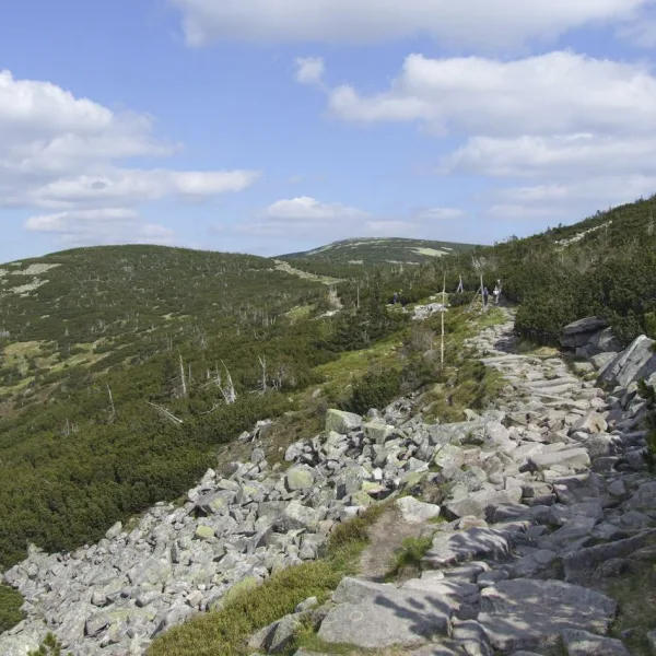
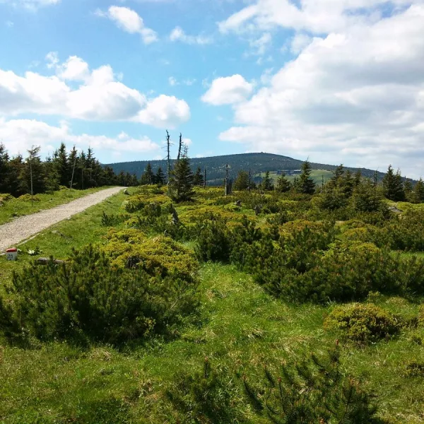
All objects with the view tag are hills above the village, so the choice depends on your fitness. The highest is Tępy Szczyt (1388 m) on the main ridge, right by the Czech border. A wide boulder field, a rock rubble without vegetation, covers it, and dwarf pine and spruce forest grow below. Trails lead from it to Szklarska Poręba and Karpacz, so a longer route is easy to build.
Ptasi Kamień (1215 m) lies in the middle of the Silesian Ridge, and the Polish-Czech border crosses it between the Karkonosze Pass and the Dołek Pass. A small rock stands on top. Sucha Góra (1101 m) and Garb (1087 m) fill the middle of the scale; below Garb lies the Bielec rock formation, with the Snowy Cirques nearby.
What to choose when time is short?
Ptasiak (1046 m) has numerous rocks called the Bird Rocks on top, and within a few kilometres lie Śnieżka, Kopa and the Śląskie Kamienie rocks. Lower are Susz (708 m) with single rocks on its southern slope and Płonik (682 m), reached by a blue trail from Przesieka to the Karkonosze Pass and a yellow one through Borowice. Płonik is a good answer for a shorter day. The Myja stream valley separates Susz from Mostowa, and Podgórna Waterfall lies close by, so after the climb you can descend to the cascades. The whole area belongs to the Jelenia Góra Valley, where the Wang Church and Chojnik Castle also lie within a few kilometres.
How to prepare?
The descriptions give no marking conditions, so check the route before you leave and do not set out without a map. If the weather hides the views, switch to attractions in Przesieka. The summits are collected under mountains in Przesieka and solo outings on the Przesieka solo list. Other viewpoints of Lower Silesia are on scenic views in the region.

 Mountains