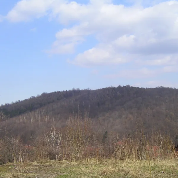
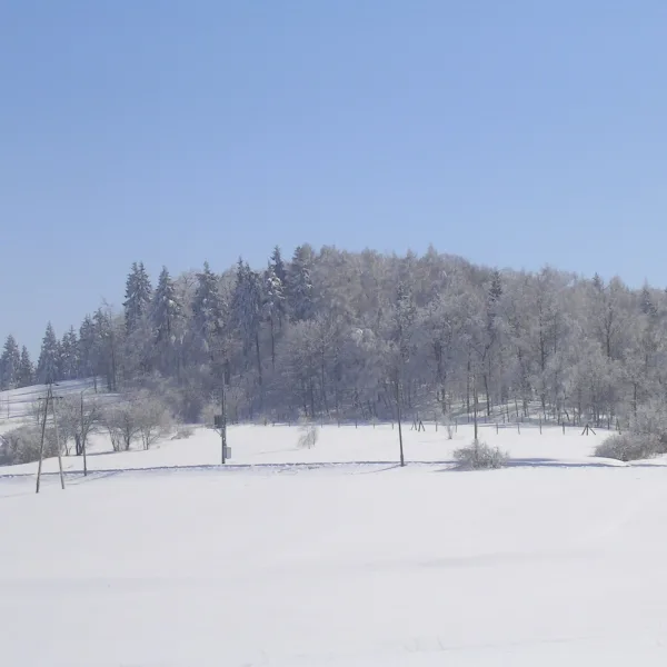
Mountains in Wałbrzych range from 526 to 635 m above sea level, with castle ruins and traces of old mines. Here is which to pick for a hike.
Which peak is the highest, and which has ruins?
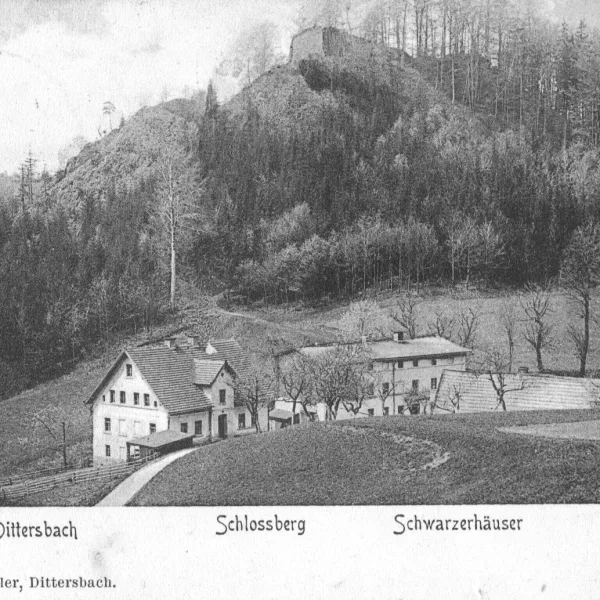
The highest is Barbarka at 635 m, wooded and lying south of the Wałbrzych Główny station. It holds remains of an 18th-century coal mine and of a former lookout tower from 1905-1925. Second is Zamkowa Góra (Castle Hill) at 618 m, above the Glinik district. Its summit carries the ruins of the medieval Nowy Dwór castle. The hill is a cone with steep slopes and a flat top, and the Pełcznica flows below it on the north-west side. The whole area lies in the Wałbrzych Sudetes Landscape Park. Barbarka has a mining past too: in the mid-18th century Baron von Czettritz-Neuhaus opened the Ernestine coal mine on its northern slope, and its adit was 920 metres long.
Where can you find traces of mining?
Lisi Kamień (Fox Rock) is 613 m high and lies in the northern part of the Wałbrzych Mountains. Spruce forest with some deciduous trees covers it, and on the slopes you can see traces of silver ore mining that began in the 14th century, as well as erratic boulders left by the reach of an ancient glacier. Ptasia Kopa also bears marks of early mining: it is a steep 590 m peak that separates the Wałbrzych Foothills from the Wałbrzych Basin. It is built mainly of conglomerates and greywacke, and on its slopes you may come across traces of lead and silver mining from the 14th and 15th centuries. Together with Lisi Kamień and Czarnota it forms an even ridge.
Which peak suits a quieter stretch of the ridge?
Czarnota (526 m) closes the northern end of the Wałbrzych Mountains ridge and is separated from Ptasia Kopa by a shallow pass. It used to be called Schwarze Lehne in German. Within a few kilometres lie Książ Castle, the Spa Park in Szczawno-Zdrój and the Stara Kopalnia Science and Art Centre. The approach is by mountain trails, so check the route and markings before you set out. Czarnuszka (562 m) lies in the middle of the ridge that runs from Borowa to Czarnota. All these peaks carry the tags "Bezpłatne" (free), "Piękne widoki" (beautiful views), "Przyroda" (nature) and "Solo". Views from other places are on beautiful views in Wałbrzych, and free ideas under free attractions. The city overview is attractions in Wałbrzych, and the region is covered by mountains in Lower Silesia.

 Mountains